Calculate water turbidity index (WTI) from Sentinel-2
Written by Men Vuthy, 2022
Objective
Vizualize SWIR composite image of Chaktomuk river in 2021 in Phnom Penh.
Calculate water turbidity index.
Export WTI image.
Dataset
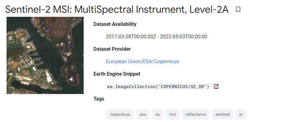
Sentinel-2 is a wide-swath, high-resolution, multi-spectral imaging mission supporting Copernicus Land Monitoring studies, including the monitoring of vegetation, soil and water cover, as well as observation of inland waterways and coastal areas. The assets contain 12 UINT16 spectral bands representing SR scaled by 10000 (unlike in L1 data, there is no B10).
Code
1. Visualize dataset
Sentinel-2 image can be visualized using the code snippet below:
// Set the area of interest
var roi = ee.Geometry.Polygon([[[104.90218375201758, 11.577174953667186],
                        [104.90218375201758, 11.533783997142853],
                        [104.99350760455664, 11.533783997142853],
                        [104.99350760455664, 11.577174953667186]]], null, false);

// Create function to mask cloud in Sentinel-2 images
function maskS2clouds(image) {
var qa = image.select('QA60');

// Bits 10 and 11 are clouds and cirrus, respectively.
var cloudBitMask = 1 << 10;
var cirrusBitMask = 1 << 11;

// Both flags should be set to zero, indicating clear conditions.
var mask = qa.bitwiseAnd(cloudBitMask).eq(0)
    .and(qa.bitwiseAnd(cirrusBitMask).eq(0));

return image.updateMask(mask).divide(10000);
}

// Load Sentinel-2 images
var dataset = ee.ImageCollection('COPERNICUS/S2_SR')
                .filterDate('2020-01-01', '2020-01-30')
                // Pre-filter to get less cloudy granules.
                .filter(ee.Filter.lt('CLOUDY_PIXEL_PERCENTAGE',10))
                .map(maskS2clouds);

// Clip images to area boundary
var roi_image = dataset.mean().clip(roi)

// Set visualization
var visualization = {
min: 0.0,
max: 0.3,
bands: ['B12', 'B8', 'B4'],
};

// Set center for zooming
Map.centerObject(roi, 14)

// Add layer to map
Map.addLayer(roi_image, visualization, 'SWIR_image');

2. Calculate water turbidity index.
Water turbidity index (WTI) based on multispectral images was developed and tested at Kushiro Mire, eastern Hokkaido, Japan [1]. The WTI was adopted by Gaëtan Lefebvre et al. 2019 [2] and the formula was derived as follows:
Here, I applied this formula in GEE to calculate water turbidity index using Sentinel-2 images.
// Create fuction to calculate water turbidity index
var addWTI = function wti(image){
var wt = image.expression('0.91 * RED + 0.43 * NIR', {
    'RED': image.select('B4'),
    'NIR':image.select('B8')}).rename('WTI');

return image.addBands(wt);
};

// Calculate water turbidity index
var turbidity = addWTI(roi_image).select('WTI');

// Set visualization
var visualization_wti = {
min: 0.0,
max: 0.2,
palette: ['green','white', 'blue'],
};

// Add layer to map
Map.addLayer(turbidity, visualization_wti, 'Turbidity');

3. Export WTI image
By running below snippet, the Tasks tab will appear a Run button. After clicking that button, the turbidity image of Chaktomuk river will be stored in your google drive.
// Export image to google drive
Export.image.toDrive({
image: turbidity,
description: 'Turbidity',
fileFormat: 'GeoTIFF',
scale: 10,
region: roi
});
Reference
[1] Kameyama, S., Yamagata, Y., Nakamura, F., & Kaneko, M. (2001). Development of WTI and turbidity estimation model using SMA—application to Kushiro Mire, eastern Hokkaido, Japan. Remote Sensing of Environment, 77(1), 1-9.
[2] Lefebvre, G., Davranche, A., Willm, L., Campagna, J., Redmond, L., Merle, C., … & Poulin, B. (2019). Introducing WIW for detecting the presence of water in wetlands with landsat and sentinel satellites. Remote sensing, 11(19), 2210.